About

I’m Kshitij, a passionate spatial developer, AI engineer, and open-source enthusiast from Nepal. My journey in web development began in 2013 with the creation of a custom Blogspot website. My experience with open-source development started in 2016, when I developed a Nepali OSMTracker Android application for local surveying. Since then, I’ve immersed myself in designing geospatial applications, leading AI-for-mapping initiatives, and fostering community-driven open-source projects.
What Drives Me?
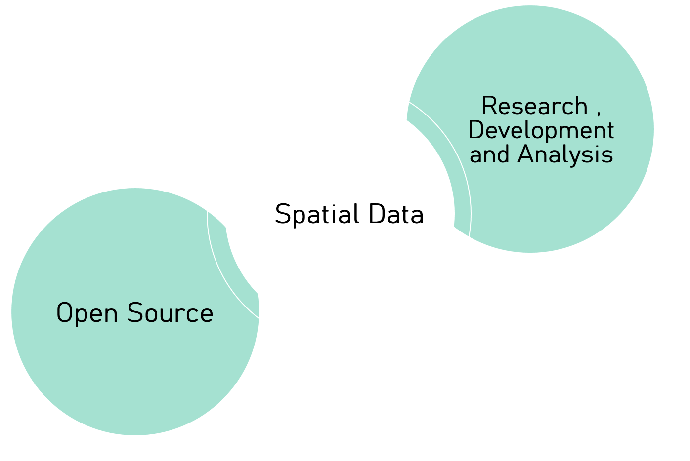
I’m drawn to the intersection of these three key topics: Open Source, Spatial Data, Research Development, and Analysis. Analyzing problems efficiently with research, figuring out new ideas, and implementing them is where I see myself fit. In addition to this, I enjoy exploring drones, field surveying, and mapping. I am a tech enthusiast who is fond of gadgets. Ultimately, my goal is to make a meaningful impact through my work, with a focus on helping those in need and giving back to the community.
“Be kind and work hard; it will get you to the situations you want to be in.”
Experience & Education
Professional Timeline
-
AI Engineer/Developer
Humanitarian OpenStreetMap Team (Part time, Sept 2024 – Present) -
Geospatial System Consultant Social Empowerment and Building Accessibility Centre Nepal ( SEBAC-Nepal) ( Part time, August 2024 - Sept 2024)
-
Product Owner (Map Data Access Services)
Humanitarian OpenStreetMap Team (July 2023 – Oct 2024) -
Backend Engineer
Humanitarian OpenStreetMap Team (Oct 2021 – June 2023) -
GIS Developer
Sentinel Engineering Consultancy (July 2020 – Sept 2021) -
Research Associate
Center for Space Science & Geomatics Studies (Nov 2019 – June 2020) -
Web GIS Developer (Intern)
Naxa Pvt. Ltd (April 2019 – May 2019) -
GIS Analyst (Contract)
Modi Rural Municipality (Jan 2019 – March 2019) -
OSM Mapper (Intern)
Kathmandu Living Labs (Jan 2018 – April 2018)
Academic Background
-
Copernicus Masters in Digital Earth (Erasmus Scholarship)
University of Salzburg, Austria & University of South Brittany, France (2024 – Ongoing)
Focus: Geo Data Science & AI for Earth Observation -
Bachelor in Geomatics Engineering
Institute of Engineering, Pokhara, Nepal (2015 – 2019)
Courses: Python, Machine Learning, GIS, Remote Sensing, DBMS, Cartography, Photogrammetry, Geodesy, Cadastre , Full List Here
Work & Projects
I enjoy working in innovative geospatial solutions from large-scale data pipelines to AI-assisted mapping tools.
fAIr – Free & Open AI-Assisted Mapping
- AI platform supporting building detection via RAMP & YOLOv8
- GitHub Repo | Explained Video | Live
- Goal: Democratize machine learning for humanitarian mapping
VirtuGhan
Raw-Data-API
- High-performance API engine for OpenStreetMap data in multiple geospatial formats
- Integrated with Humanitarian Data Exchange (HDX) for easy distribution
- Repo | Live
OSM-Export-Tool
- Facilitates OpenStreetMap and OvertureMap data export for HDX and other humanitarian needs
- Streamlines the process of making data more accessible in crisis response situations
- Repo | Live
Tasking Manager Extractor
- Facilitates project data downloads in Tasking Manager by triggering extraction requests
- Data downloader of OpenStreetMap Tasking Manager projects
- Repo | Live
Overture2HDX
- Generates extracts for HDX (Humanitarian Data Exchange) from Overture Maps
- Available on PyPI
- Repo | Docs
Cog2H3
- Processes Cloud Optimized GeoTIFFs (COGs) and converts them to H3 hexagonal grids
- Stores results in PostgreSQL, supports multi-band rasters, resampling, and various processing options
- Available on PyPI
- Repo | PyPI
OSMSG (OpenStreetMap Stats Generator)
- On-the-fly command-line stats generator for OpenStreetMap user contributions
- Available on PyPI
- Repo | PyPI
Precision Farming (Mobile App)
- Machine Learning + Remote Sensing for leaf health detection
- Empowers local farmers with data-driven insights
- Demo
Chaklabandi ( Land Consolidation )
- Mobile GIS application for DGPS surveys and on-field data collection
- Streamlines layout design and syncs field data seamlessly for helping farmers to farm in modern way
- Test & Implementation | About
Location Based - AR App
- Augmented Reality tool combining drone surveys with GeoAR
- Mixed reality experience for campus exploration
- Project further pitched as an idea for Exploring Mountains which was awarded as best concept in Innovation Bootcamp, Nepal
Modi Rural Municipality Mapbook
- An open geospatial database of local services (agriculture, education, finance)
- See Mapbook (PDF)
Other Highlights
- Agriculture Market Full-Stack:
- Price.krishiangan.com – Real-time agriculture price mapping
- Krishiangan.com – E-commerce for agricultural products
Some Open-Source Projects
- accuracy-metrics-evaluator: Object-level accuracy assessment toolkit for segmentation model output
- geoml-toolkits: Collection of small toolkits for GeoML workflows
- fAIr-utilities: Toolkit for RAMP/YOLO polygon extraction
- osmhashtagbot: Track OSM hashtags via Python
- osm-login-python: OAuth2 login library for OSM
- geojson2osm: Convert GeoJSON into OSM XML format
- osmconflator: Data conflation with OSM
- 15minwalk: Visualizing the 15-minute city concept
- pcodegenerator: Generate unique codes for geospatial datasets
- overturemaps-export: Convert OvertureMaps data to various GIS formats
- oamsearch: Quick search for OpenAerialMap imagery
- geojson2bbox: Easily grab bbox of your GeoJSON
- orthogonalizer: Pip implementation for squaring/orthogonalization of irregular polygons
- osm-login-python: Package to manage OAuth 2.0 login for OSM in Python
- overture-to-tiles: Converts Overture Map data to Cloud Optimized Vector Tiles (PMTiles)
- fairpredictor: Standalone package for running segmentation model predictions
- s3-logs-analyzer: Analyzes AWS S3 logs to produce reports on service downloads
also contributor to
Cool Open Source Projects…
Publications
- Assessment of Agricultural Land Pooling using GNSS & GIS in Gandaki Province, Nepal
- Assessment of Solar Photovoltaic Potential of Building Rooftops Using Photogrammetry and GIS
YouthMappers Blog Post
Blogs and Diaries
Talks , Conferences & Awards
- FOSS4G, State of the Map (SOTM), OSGeo local chapters, YouthMappers events , Outreachy Internship Mentoring , OSM Hackfest Mentor
- Presentations on AI4EO, OpenStreetMap data pipelines, Humanitarian mapping, and more
- Frequent speaker at FOSS4G events (both online & in-person)
- Sharing experiences on free and open-source mapping globally
- Winner of Geoinformatics Summer School, Wuhan University China 2023 , Runner-Up winner at geoaihack 2025 , Best Concept award by Innovation Bootcamp 2019
You can find me at geospatial conferences, out of which FOSS4G is my fav.
Community & Interests
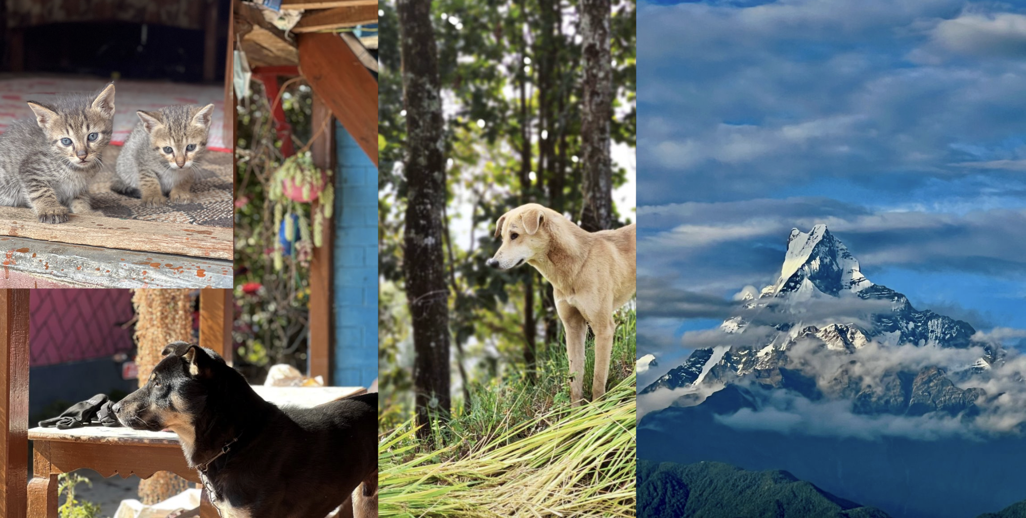
I’m a proud initiator of OSGeo Nepal, helping unite local developers and mappers around open-source geospatial tech. Beyond coding and mapping, I’m an avid explorer of drone technology, a poetry enthusiast, and I love basketball, FIFA, hiking, and traveling. At home, I spend time with my cats and dogs, always recharging for my next open-source endeavor.
Thank you for e-visiting me !